Weather Resources
Current Conditions & Forecasting Tools
Look Ahead!
Like most outdoor activities, skydiving is completely weather dependent. We are affected by all aspects of the weather – from what’s going on at ground level now to what’s happening a few miles up and what lies ahead.

Learn more about conditions that affect jump operations and the resources we use to predict the weather.
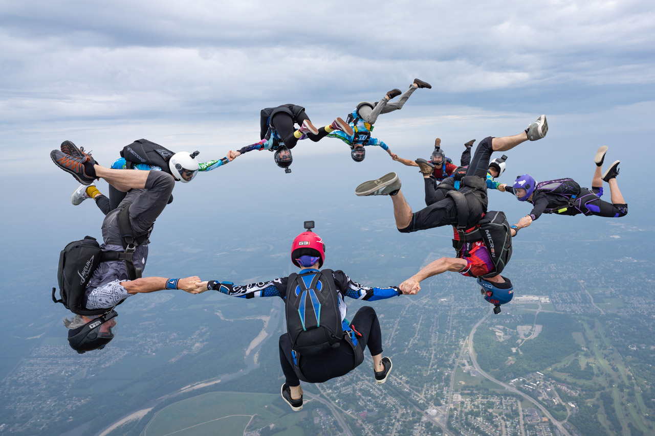
Unfavorable Weather Conditions
Wind
- Maximum non-licensed student wind speed limit (inc. gusts): 14 knots
- Maximum tandem student and A License skydiver wind speed limit (inc. gusts): 21 knots
- Maximum B, C and D License skydiver wind speed limit (inc. gusts): 30 knots
Jump ops are suspended for 30+ minutes if any of the following occur twice within a span of five minutes. Jump ops resume only after 30+ minutes since the last exceeding winds or gusts. If at least one of the below scenarios occurs during the suspension period, the suspension will be extended in 30 minute increments.
- Steady winds or gusts exceed their respective maximum wind limits
- More than a 9 knot difference between steady winds and gusts
Clouds & Fog
- Max legal exit altitude without supplemental oxygen onboard for pilot: 14,000’ MSL
- Max legal exit altitude without supplemental oxygen onboard for jumpers: 15,000’ MSL
- Min legal non-emergency tandem student exit altitude: 7,500’ AGL
- Min AFF student exit altitude: 9,000’ AGL
- Min Solo Student, A and B License skydiver exit altitude: 3,500’ AGL
- Min C and D License skydiver exit altitude: 3,000’ AGL
- Min legal exit distance under clouds below 10,000 feet MSL: 500’
- Min legal exit distance under clouds at/above 10,000 feet MSL: 1,000’
- Min overcast/broken cloud ceiling base for A and B License skydiver exits: 4,000’ AGL
- Min overcast/broken cloud ceiling base for C and D License skydiver exits: 3,500’ AGL
- Min overcast/broken cloud ceiling base for tandem student exits: 8,000’ AGL
- Min overcast/broken cloud ceiling base for solo student exits: 10,000’ AGL
- Min legal horizontal radial distance from any clouds below 10,000 feet MSL: 2,000’
- Min legal horizontal radial distance from any clouds at/above 10,000 feet MSL: 1 statute mile
- Min legal hole diameter size between scattered clouds below 10,000 feet MSL: 4,000’
- Min legal visibility below 10,000 feet MSL: 3 statute miles
- Min legal visibility at/above 10,000 feet MSL: 5 statute miles
Rain, Lightning, Thunder, Storms …
Jump operations are suspended when:
- It’s raining. It hurts to skydive in the rain – it’s like being repeatedly shot with BBs! It also prevents our parachutes from being repacked and jumped again until they are dry. No bueno.
- Storm cells are reported within a 20 mile radius. Jump ops are suspended for 30 minutes when lightning is seen, heard, or reported within a 20 mile radius. No exceptions.
Temperature
The temperature difference between the surface and at jump altitude is typically about 3 to 4°F colder for every 1,000’, or 10°F for every 3,000’. If the temperature on the ground is 40°F then the temperature at jump altitude can be anywhere from 15 to 0°F. Factor in wind chill and the temperature will feel about -30 to -40°F – about the same wind chill temperature felt on Mount Everest in summer. Exposed skin will begin to freeze within 10 minutes!
- No student jumps (inc. tandems) if the current ground temperature is below 40°F
- No jumping if temps at jump altitude result in a 120 mph wind chill factor colder than -30°F
If you’ve waited at least two hours after your scheduled check-in time and still have not jumped due to weather, you may reschedule for another date during the same season at no additional cost. Note, any difference in price must be paid in full upon check in for your rescheduled jump.
NOAA National Weather Service Terminal Air Forecasts (TAFs)
Pilots use this when planning flight operations. It provides windows of predicted clouds, temperature, precipitation, winds on the ground and aloft, and predicted periods of wind gusts. All information is given in Zulu time.
March – October: Ohio = Zulu – 4 hrs
November – February: Ohio = Zulu – 5 hrs
Access the aviation TAFS and METARS for airports surrounding KMWO (KCVG and KDAY)
Data Source: National Weather Service
Pros
Cons
AirNav.com & AWOS
AirNav is a resource for finding airport data for any registered airport. An AWOS (Automated Weather Observation Station) is a physical weather observation tower installed at some airports. If an airport has an AWOS on site, its phone number will be on the airport’s AirNav listing. For KMWO, call (513) 422-3505 for a readout of current weather.
Access AirNav
Data Source: KMWO AWOS
Pros
Cons
Winds Aloft
Possibly the most used weather resource by skydivers. Mathematical algorithms predict winds and temperature at altitude.
Access Winds Aloft by Mark Schulze
Data Source: NOAA Rapid Refresh modeling system (unless otherwise noted)
Pros
Cons
Ryan Carlton Balloonists’ Wind Forecast
Winds aloft forecast used by hot air balloonists.
Access Ryan Carlton
Data Source: NOAA Rapid Refresh modeling system
Pros
Cons
Windy (WindyTV)
General weather app geared toward outdoor sports enthusiasts who need ground wind data.
Access Windy
Data Source: Choose from NWS, Euro model, NASA, Eumetsat, etc.
Pros
Cons

Share Your Resources!
Have a favorite weather resource or application other skydivers might find useful? Email us with the subject line “Weather Resources” and include the name of the website/application, brief description, data source, and the pros and cons of the resource.